


 Herunterladen(1.79MB)
 1.3.1
1.3.1
 4.59MB
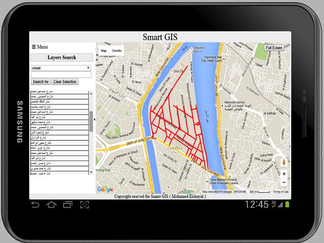
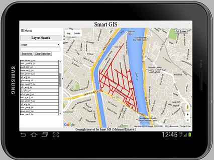
Afrika arabisch Ägypten GIS GPS -Software konvertieren Formdatei in HTML Web GIS und Mobile
Erste afrikanische arabische ägyptische GIS -GPS -Software von Afrika Arabisch Ägypten GIS Company Elshayal Smart GIS
Elshayal Smart GIS ist die erste afrikanische arabische ägyptische GIS -GPS -Software, die vollständig von Afrika -Programmierern der arabischen Ägypten und unabhängig von jedem kommerziellen Paket entwickelt wurde. Es wird von keiner Organisation finanziert und besteht aus: 1) MAP -Editor und Analyse für Desktop, 2) MAP -Server für Web, 3) Mobile GPS -Tracking und Datenkollektor für Mobile, 4) Download Google Earth. In Ägypten gemacht
Kostenloser Download https://drive.google.com/file/d/0b2qr4wxkke_vumr6v2hyrhrqb2c/view?usp=sharing
"Diese App sammelt Standortdaten, um [Tracking] und [Infrastrukturen anzeigen] zu aktivieren, selbst wenn die App geschlossen ist oder nicht verwendet wird."

 Benutzer haben auch angesehen
Alle
Benutzer haben auch angesehen
Alle
updated
updated
updated
updated
updated
updated
updated
updated
updated
updated
updated
updated
Beliebte Spiele
Alle
updated
updated
updated
updated
updated
updated
updated
updated
updated
updated
updated
updated